

2018 description
The following description is based on that provided to the Scottish Land Fund in March 2018.
The origins of the Douglas Support Estate can be traced back to the 17th century. The existence of a well-established and extensive area of policy woodland and parkland seems to be confirmed in a plan of 1752. By 1859 the OS plan shows the designed landscape and the later plan of 1898 shows a formal landscape setting for the mansion house (Rosehall House), gardens which incorporate riverside walks and circuit paths, policy woodland and parkland incorporating scenic drives from lodge houses. The house was demolished in 1939 and the subsequent neglect and abuse has resulted in the degradation of the quality and integrity of the designed landscape. The part of the Douglas Support Estate that we will acquire is two parcels of land split by the recently (August 2017) completed M8 motorway, linked by a bridge which carries the access road from the A8. The area is bounded on the south by the North Calder Water, which runs through an incised glen with woodland on the south-side which lies to the north of the residential estate of Viewpark and Strathclyde Business Park. The northern boundary is the A8 dual-carriageway, with Coatbridge to the north. To the west is the M73, to the south the M74 and to the east, The North Road (A725). This area thus forms a ‘green lung’.
There were two pit-heads on the estate. Some evidence of these, the former mansion house and ancilliary buildings and a family burial ground, remain, but apart from the farm, there is no built environment remaining on the estate. Spoil from the nearby North Alderston colliery has been spread on the land in two areas (about 34 acres), now covered in trees. Areas of archaeological interest, including a Christian meeting place and a prehistoric burial site, have been noted in a Cultural Heritage and Archaeology Environmental Statement (March 2001).
Several core paths lead into and cross the estate, as does a newly constructed cycle path, which doubles as an estate access track.
The northern parcel of land, about 55 acres, was until recently held on an agricultural lease, served by a bungalow farmhouse and barn. The fields were used for grazing, with a high pressure gas pipeline below.
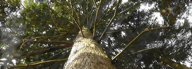
To the south of the M8, the land is a mix of open area and woodlands. The open areas were formerly part of the agricultural lease, but have not been farmed for some time. Two areas have been enclosed by fences and are suitable for grazing. The woodlands include the former parkland and gardens associated with the mansion house, which contain several varieties of rare shrubs and trees.